In today’s data-driven world, precision is king. Across industries, the ability to capture intricate details and translate them into actionable insights is paramount. Enter LiDAR drone surveys, a revolutionary technology poised to transform how we perceive and manage our environments.
What is a LiDAR Drone Survey?
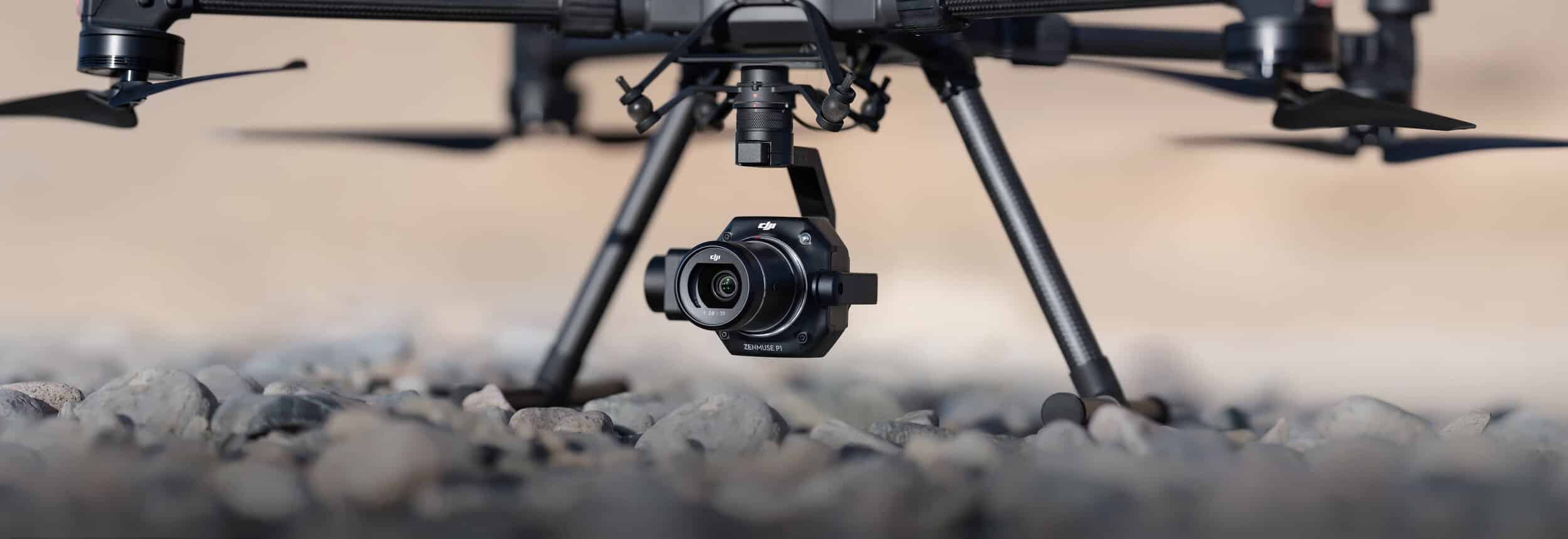
Imagine a powerful tool that combines the agility of drones with the unparalleled precision of laser scanning. That’s the magic of a LiDAR drone survey. LiDAR, short for Light Detection and Ranging, utilises pulsed lasers to measure distances and create highly detailed 3D point clouds of your target area. Mounted on a drone, this technology facilitates rapid, comprehensive data acquisition, reaching even the most challenging areas.
Why LiDAR Drone Surveys are a Game Changer
LiDAR drone surveys offer a game-changing advantage across various industries, transforming the way we approach data collection:
- Unmatched Precision: LiDAR captures millions of data points, generating highly accurate 3D models of any environment. This translates to precise volume calculations, perfect for stockpile management, construction planning, or even detailed warehouse layouts.
- Enhanced Safety: Eliminate the risks associated with traditional surveying methods. LiDAR drones navigate autonomously, keeping personnel safe from hazardous environments, steep inclines, or uneven surfaces.
- Increased Efficiency: LiDAR surveys are swift. Drones cover large areas quickly and efficiently, minimizing disruption to ongoing operations. This translates to faster project turnaround times and reduced costs.
- Data-Driven Decision Making: LiDAR data empowers you with a wealth of insights. Leverage these insights to optimize space allocation, plan future endeavors, and make informed decisions for a more efficient operation, be it in warehouse management, construction monitoring, or intricate site inspections.
- Beyond the Obvious: Additional Applications of LiDAR Drone Surveys


The benefits of LiDAR drone surveys extend far beyond initial impressions:
- Construction Monitoring: Track construction progress meticulously with 3D point cloud data, ensuring projects stay on schedule and within budget.
- Site Inspections: LiDAR surveys are ideal for detailed inspections of infrastructure, buildings, or challenging terrain, identifying potential issues early on for proactive maintenance.
- Volume Calculations: Accurately measure stockpiles, quarries, and other large-scale objects for precise volume estimation, crucial for industries like mining or resource management.
Unlocking a New Dimension with LiDAR Drone Surveys
By incorporating LiDAR drone surveys into your data collection strategy, you unlock a new dimension of understanding. Gain unparalleled insights into your target environment, optimise space utilization, improve safety protocols, and ultimately, make data-driven decisions that propel your operations forward.
Ready to experience the transformative power of LiDAR drone surveys? Contact us today to discuss your specific needs!